
Description
What our Fun US Geography lesson plan includes
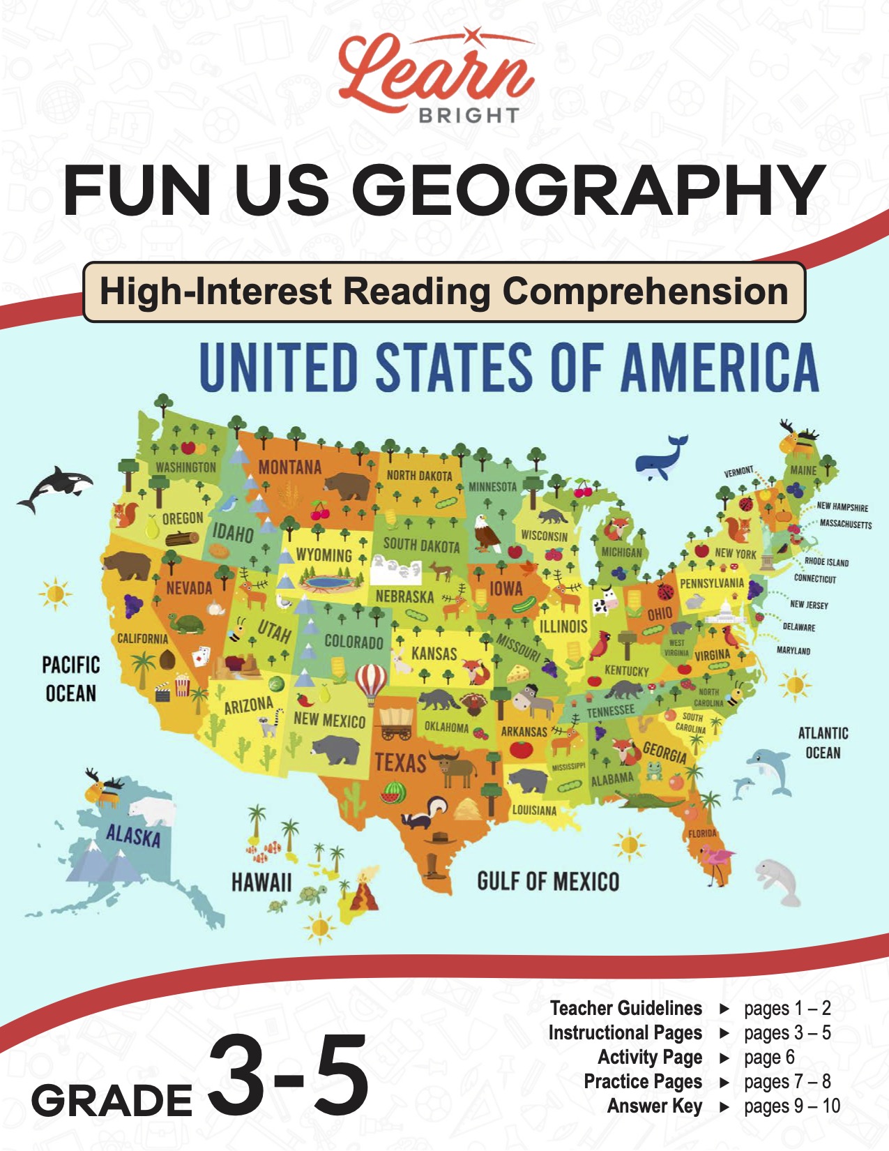
Lesson Objectives and Overview: Fun US Geography is a high-interest reading comprehension lesson plan. As such, students will practice various close reading and comprehension skills. In addition, they will learn about geography and why it is important and practice related geography skills. This lesson is for students in 3rd grade, 4th grade, and 5th grade.
Classroom Procedure
Every lesson plan provides you with a classroom procedure page that outlines a step-by-step guide to follow. You do not have to follow the guide exactly. The guide helps you organize the lesson and details when to hand out worksheets. It also lists information in the yellow box that you might find useful. You will find the lesson objectives, state standards, and number of class sessions the lesson should take to complete in this area. In addition, it describes the supplies you will need as well as what and how you need to prepare beforehand.
Teacher Notes
The paragraph on this page provides a little more information or guidance on what to expect from the lesson. It explains that you can teach this lesson in a whole-class setting or as an independent, small-group activity. You can use the blank lines to record any thoughts or ideas you have as you prepare.
FUN US GEOGRAPHY LESSON PLAN CONTENT PAGES
History of Geography
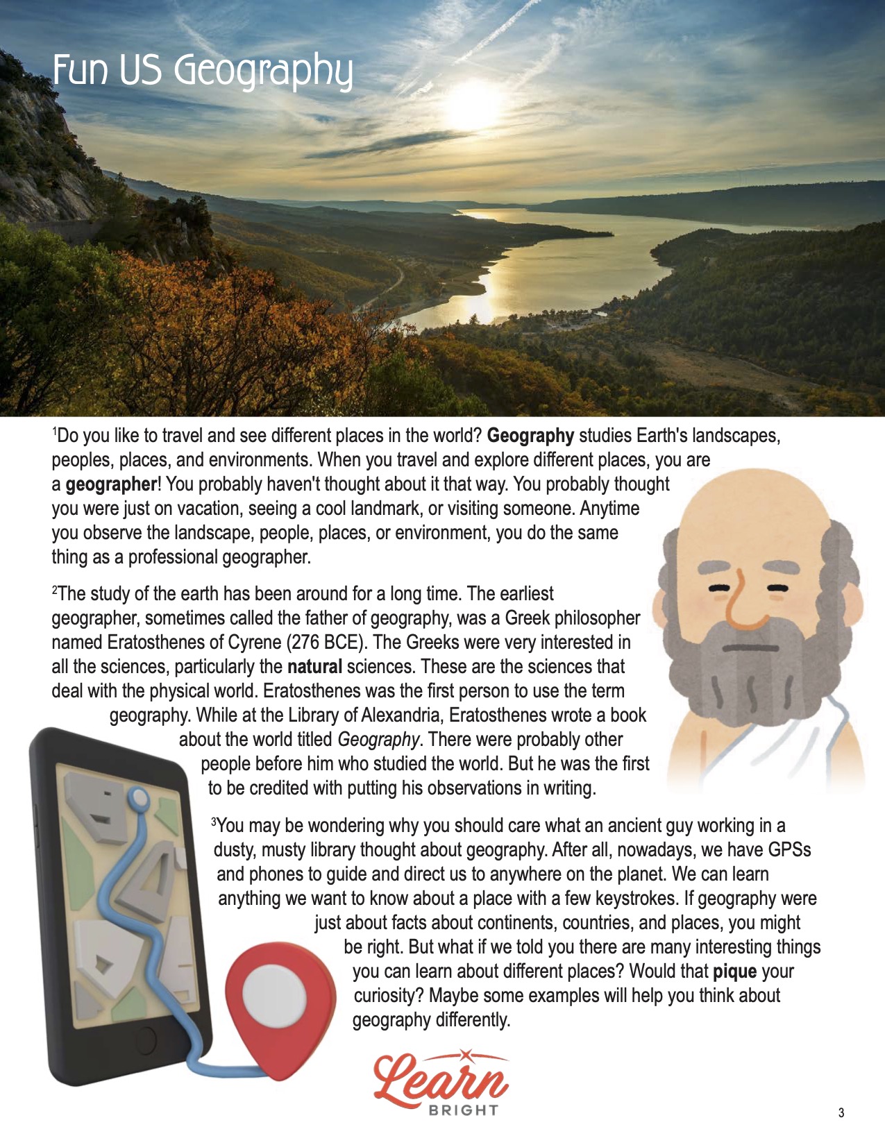
The Fun US Geography lesson plan contains three content pages. 1Do you like to travel and see different places in the world? Geography studies Earth’s landscapes, peoples, places, and environments. When you travel and explore different places, you are a geographer! You probably haven’t thought about it that way. You probably thought you were just on vacation, seeing a cool landmark, or visiting someone. Anytime you observe the landscape, people, places, or environment, you do the same thing as a professional geographer.
The study of the earth has been around for a long time. The earliest geographer, sometimes called the father of geography, was a Greek philosopher named Eratosthenes of Cyrene (276 BCE). The Greeks were very interested in all the sciences, particularly the natural sciences. These are the sciences that deal with the physical world. Eratosthenes was the first person to use the term geography. While at the Library of Alexandria, Eratosthenes wrote a book about the world titled Geography. There were probably other people before him who studied the world. But he was the first to be credited with putting his observations in writing.
Geography Trivia
You may be wondering why you should care what an ancient guy working in a dusty, musty library thought about geography. After all, nowadays, we have GPSs and phones to guide and direct us to anywhere on the planet. We can learn anything we want to know about a place with a few keystrokes. If geography were just about facts about continents, countries, and places, you might be right. But what if we told you there are many interesting things you can learn about different places? Would that pique your curiosity? Maybe some examples will help you think about geography differently.
How many people do you think live on the planet? Well, there are more than 8 billion people on Earth. One of the key factors in geography is population density. Population density refers to how many people live in a square mile or square kilometer of land. The earth is the fifth-largest planet, with about 57 million square miles of land. The average population density of the earth is roughly 60 people per square mile. Eight billion is a lot of folks spread over a pretty large area!
Here is an interesting fact: Texas is the United States’ second-largest state in land area, just behind Alaska. Suppose the population density of Texas were the same as that of New York City (one of the world’s most crowded cities). Would it surprise you to learn that the entire world’s population could fit in Texas? It would certainly be a little crowded. Think about that for a second. Texas has enough square miles of land for the entire world to live in! Still not impressed? Read on, and maybe you will be convinced that geography is exciting.
Even More Fun Facts
Since we just mentioned the population density of New York City, that brings us to another interesting tidbit about zip codes. Zip codes tell the post office where to deliver mail. There are more than 41 thousand unique zip codes in the United States. Most large cities have more than one zip code covering an area. Manhattan, a borough in New York City, has 200 zip codes. Some of the tallest buildings and skyscrapers even have their own zip code. To give you an idea of how much that is, there are 1,776 zip codes in New York state. Manhattan makes up 11% of the total. Okay, maybe you aren’t impressed by zip codes. Who mails letters these days anyway? Perhaps you would be more interested in where your ancestors came from.
First, here is a geography trivia question. Which states are the westernmost and the easternmost states in the US? Use a map if it helps! Give up? Well, believe it or not, Alaska is both the westernmost and easternmost state! The Aleutian Islands extend into the eastern hemisphere, making Alaska the furthest state both east and west. Speaking of Alaska, a land bridge known as Beringia connected the state to Russia during an ice age. Scientists believe that is how the earliest people in North America got here from Europe. During the ice age, they walked across the ice bridge, through Canada, and migrated south. That is how our earliest ancestors got here!
Here is another opportunity to show what you know about geography. This question should be easy. Which state has the longest coastline? Remember, you can use a map if it helps. If you think it’s Florida, sorry! You’d be wrong. Okay, it must be California. Wrong again. Once again, it’s Alaska. Alaska has 6,640 miles of coastline. That’s longer than the coastlines of all the other coastal states combined! Want another chance to be a geography whiz? Try this next piece of trivia.
The Land Below Us
You may have been taught the world’s tallest mountain is Mount Everest, located between Nepal and Tibet in China. It is a little more than 29,000 feet tall. Let’s make this easy. True or false: Mount Everest is the world’s tallest mountain. If you said true, you are sort of right but sort of wrong. The tallest mountain in the world is located in Hawaii. Mauna Kea is over 32,000 feet tall when measured from the seafloor. Most of Mauna Kea is below the ocean’s surface. So, Mount Everest is the tallest mountain measured from sea level. Okay, so that was a trick question. But you must admit that thinking about mountains under the ocean’s surface is pretty cool.
If none of the above impresses you, here is a geography fact that will totally blow your mind. Underneath the United States is a piece of a continent that broke free more than 250 million years ago. About 300 million years ago, there was just one giant continent on the earth called Pangea. Over the millions of years since, Pangea split into the continents we know today. Geologists discovered that near the coastline of Alabama is a giant piece of rock divided from what is now Africa. You read that right. Part of Africa is stuck in the North American continent!
By now, we hope you think geography is pretty interesting. You can learn thousands of new things by studying the geography of the place you live or the sites you visit. Geography is more than just a dry recitation of facts and place names. Geography studies the earth’s physical features, atmosphere, and human activity. These include the distribution of populations and resources, land use, and industries. So, the next time you have to read a geography book, we hope you will get excited about all the interesting things you will learn about our planet, courtesy of geographers!
FUN US GEOGRAPHY LESSON PLAN WORKSHEETS
The Fun US Geography lesson plan includes two worksheets: an activity worksheet and a practice worksheet. Each one will help students solidify their grasp of the material they learned throughout the lesson. You can refer to the classroom procedure guidelines to know when to hand out each worksheet.
BECOME A GEOGRAPHER ACTIVITY WORKSHEET
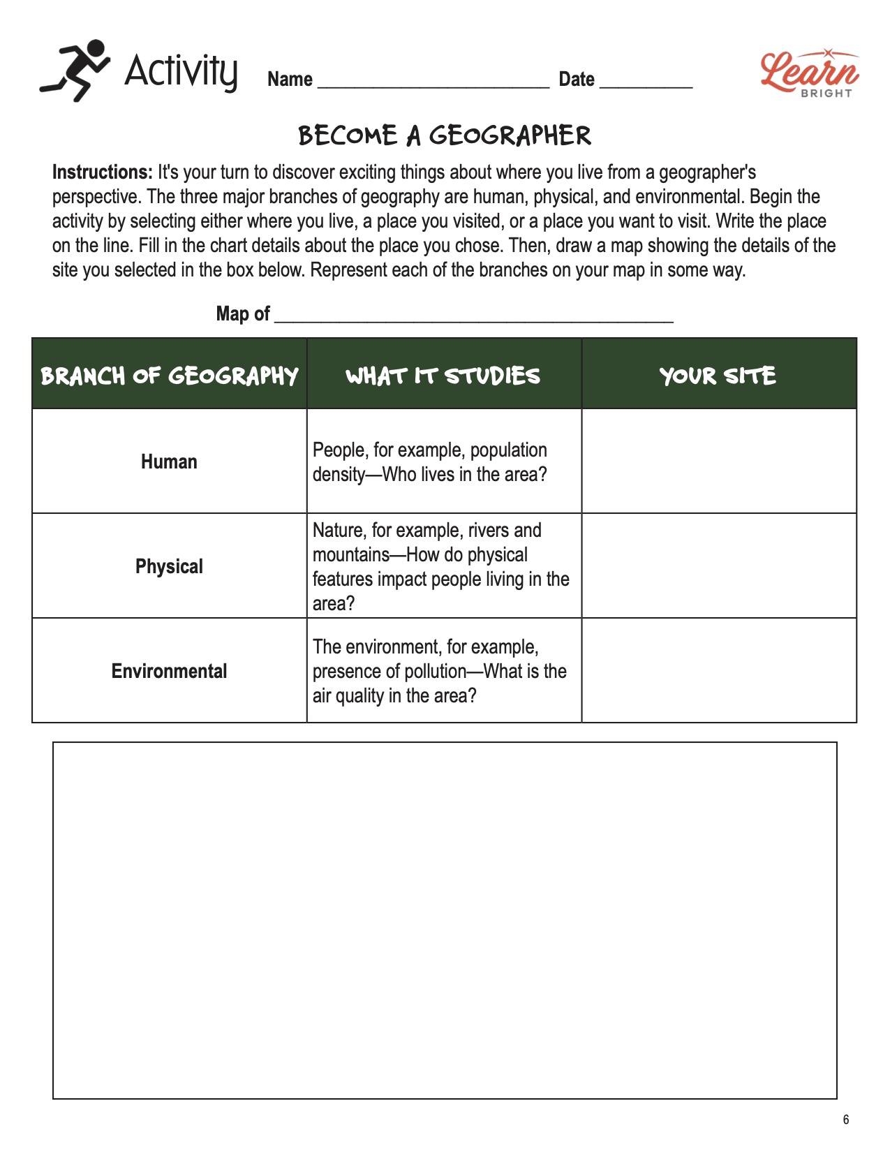
For this activity, students will practice their geography skills! They will first choose place, such as where they live or a city they want to visit. They will fill in the chart details for each of the three branches of geography as it relates to their chosen place. Then they will draw a map that represents the details of the site they selected in the box at the bottom of the page.
FUN US GEOGRAPHY PRACTICE WORKSHEET
The practice worksheet lists 11 questions based on the content. These questions all relate to the content pages, so students will need to refer to them often for the answers. In addition, each question provides which reading tool the question corresponds to, such as text feature, vocabulary, or comprehension.
Worksheet Answer Keys
At the end of the lesson plan document is an answer key for the practice worksheet. The correct answers are all in red to make it easier for you to compare them with students’ responses. If you choose to administer the lesson pages to your students via PDF, you will need to save a new file that omits these pages. Otherwise, you can simply print out the applicable pages and keep these as reference for yourself when grading assignments.